Checking the Village, the Roundhouse and the Peak
Village conditions are measured at the Environment Canada station at Nesters. The Roundhouse and the Peak are modelled for their exact elevations.
The Village is measured by Environment Canada at its Nesters station. The Roundhouse, the Peak, the cloud layers and the dotted lines of equal temperature are modelled by Open-Meteo. The mountain is drawn from real elevation data along the Village Gondola and the Peak Express, with height exaggerated so the slope reads, and shading marks ground below freezing. Lift status and the resort's own snow report are on Whistler Blackcomb.
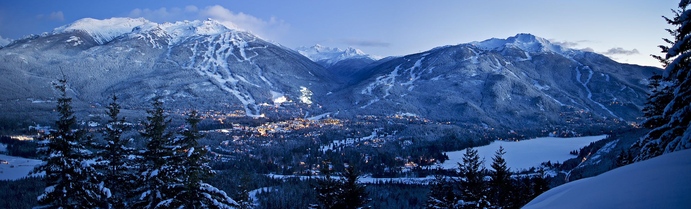
Whistler keeps two climates stacked on top of each other. The Village sits at 675 metres among the cedars, and the Peak is another fifteen hundred metres straight up. On a winter morning the two can be ten degrees and a whole season apart. It is common to leave the Village in rain and step off the gondola into snow, or to wake in valley fog with the alpine in full sun above it.
This page reads both ends at once. The line that matters most is the freezing level: below it, rain; above it, snow. If you are driving up, the Sea to Sky Highway report has the road, and the skiing guide turns the conditions into where to ski.
Loading the forecast
Loading the Environment Canada forecast
Deep snow up top all winter, long dry summers down low, and a good reason to visit in every month.
Month by month
History is modelled by Open-Meteo from ECMWF reanalysis for July 2016 to June 2026, at 2,182 m for the Peak and 675 m for the Village. The month figures are ten-year averages, so any given week can be snowier, sunnier or wetter.